Wooler Common Dog Walk
Walk Stats
| Start/finish: Padgepool Place car park, Burnhouse Road, Wooler, NE71 6BL (grid reference NT 989 281) | |||
| Terrain: Pavement through town; quiet lanes; low moorland; forest trails; stony track | |||
| Dog-friendly refreshments: There are several dog-friendly establishments in Wooler but, if the weather is fine, I’d recommend Ad Gefrin which allows dogs in its outdoor seating area | |||
| Notes for dog owners: No stiles; livestock might be encountered on open ground |
Overview
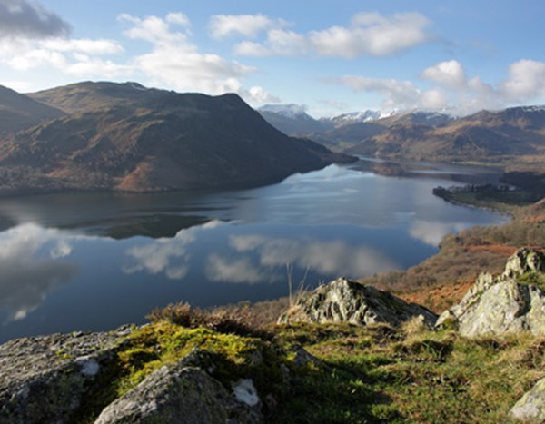
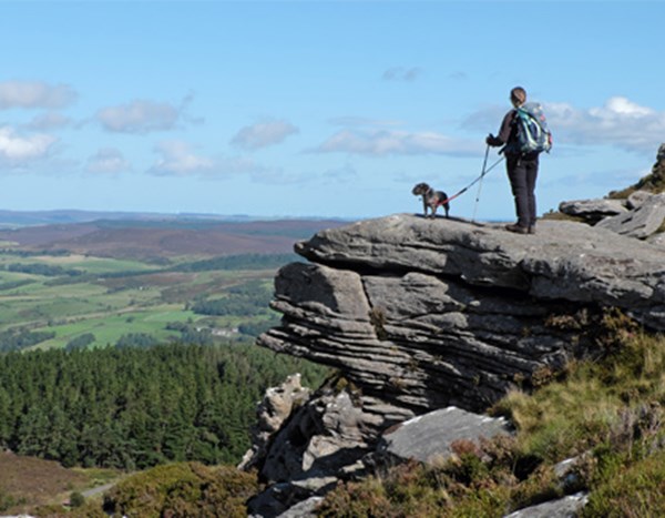
Sitting on the edge of Cheviot Hills, Wooler Common is an area of rolling, open hills and woodland that has a surprisingly remote feel to it. You’re more likely to see wildlife than other walkers and yet it’s only a short wander from Wooler.
The route described here starts from this friendly market town, climbs through woodland, crosses open commons and returns via tracks and lanes with good views of distant hills and the coast. At roughly the half-way point, it passes a picnic area beside wildlife-rich ponds, so make sure you’ve picked up some human and canine goodies before leaving Wooler.
The Walk
Standing on Burnhouse Road with your back to the car park, turn right and then right again along the main road through Wooler. After almost 300 yards (275m), turn right along Ramsey’s Lane – signposted Wooler Common. From now and for the next 2.2 miles (3.5km), the route follows the St Cuthbert’s Way. If you’re ever in any doubt, watch for the waymarkers; they’re fairly consistent.
St Cuthbert’s Way is a popular long-distance trail that links two monasteries closely associated with the seventh-century monk St Cuthbert. Starting in Melrose in the Scottish Borders, it ends 62 miles later on Lindisfarne or Holy Island, just off the Northumberland coast.
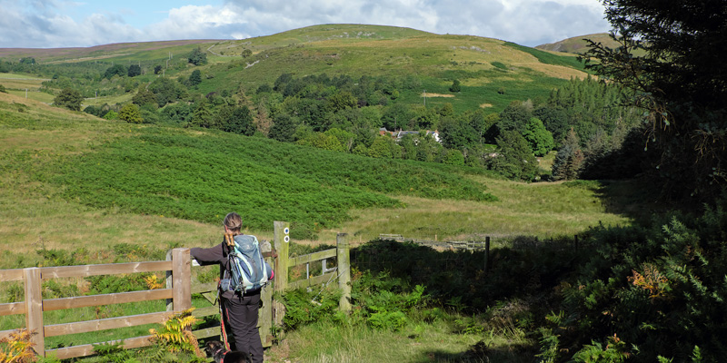
About 650m after joining Ramsey’s Lane, which becomes Common Road, take the rough track rising left. (This is beyond the last of the houses on the left-hand side of the road.) The track becomes a path between fences and hedgerows, and ends at a small gate. Go through this and immediately bear right. At a split next to old wooden fenceposts, bear left.
When the path starts climbing, keep to the clearest route. Go straight over at a crossing of ways, aiming for the conifer plantation ahead. Just a few yards back from a gate leading into the forest, bear left at a fork, soon entering via a higher gate. A trail heads uphill through a felled area.
Keep left as you cross the highest ground, soon descending on a clear path through the trees. Leave the forest via a small gate and continue with a fence on your left. On reaching a waymarked junction 165 yards (150m) beyond the trees, turn sharp right – almost back on yourself. The path now winds its way back down towards the woods. Go through a gate and fight your way along a bracken-swamped trail to a minor road.
Turn right and immediately left into a car park beside a picnic area. Cross a small bridge to the left of the information boards and then, in a further 55 yards (50m), take the waymarked St Cuthbert’s Way climbing left through the trees. After leaving the woods via a gate, keep straight ahead on a clear, grassy path climbing gently. After the next gate, leaving the St Cuthbert’s Way, fork right and then turn right, soon heading downhill on a clear track.
This section has some of the loveliest views of the whole walk. There’s rolling countryside to the north and east and, on clear days, you can see out to the coast. The track also passes below Humbleton Hill, which is crowned by one of Northumberland’s many Iron Age hillforts.
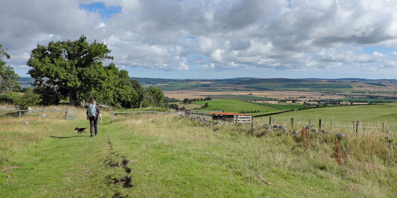
The track eventually becomes a surfaced lane and passes some buildings. Take the next lane on the right and follow this downhill through Humbleton. Turn right at a T-junction and, in a further 0.5 miles (800m), you’ll see the car park where the walk started on your right.
n Vivienne Crow has written several guides to Northumberland, including Walking in Northumberland, published by Cicerone and Short Walks Made Easy: Northumberland, published by Ordnance Survey.
Frequently Asked Questions
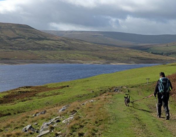
Yes, this Wooler Common walk is dog-friendly throughout, with no stiles anywhere on the route. Dogs can enjoy woodland trails, open moorland and quiet lanes.
Livestock may be encountered on the open ground, so keep dogs under close control or on the lead in these sections.
This is a moderate walk of 4 miles, taking approximately 2.5 hours.
The route climbs through woodland onto open moorland before returning via tracks and lanes, with a mix of pavement, stony track and forest trail underfoot.
There's nothing technical, but the climbs and varied terrain make it a step up from a flat valley stroll.
Yes — the walk starts and finishes at Padgepool Place car park on Burnhouse Road in Wooler. Satnav postcode: NE71 6BL (grid reference NT 989 281). It's a short, flat walk from the car park into the town itself if you fancy a coffee before or after.
There are several dog-friendly options, but on a fine day Ad Gefrin is particularly recommended, it allows dogs in its outdoor seating area, making it a great spot to relax after the walk.
Yes, the felled ground on Kenterdale Hill, with its bracken and long grasses, is exactly the kind of habitat ticks favour while waiting for a host. Check both yourself and your dog thoroughly after the walk.
If you find a tick, use a tick hook to twist and pull it from the skin, never apply heat, and avoid pressing on its body, as this increases the risk of it regurgitating bacteria that can cause Lyme disease.
.jpg?height=466.50717703349284&heightratio=0.777511961722488&mode=crop&upscale=true&width=600)


.jpg?height=466.50717703349284&heightratio=0.777511961722488&mode=crop&upscale=true&width=600)